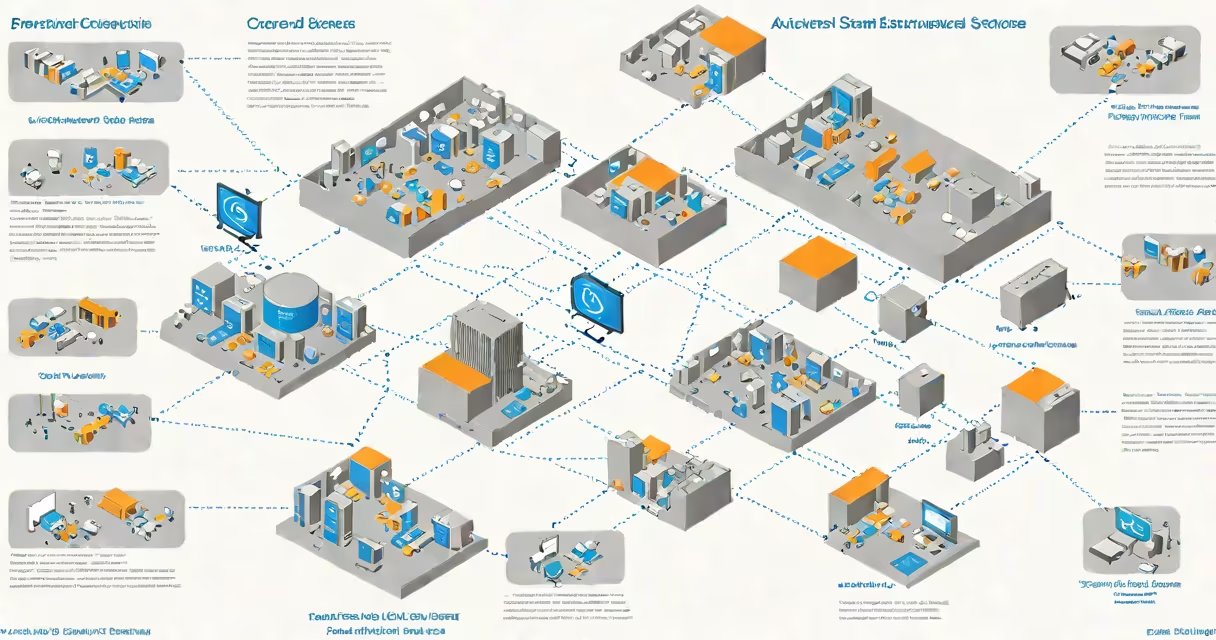
An ArcGIS Enterprise site is a centralized, secure platform that enables organizations to manage, analyze, and share geographic information across departments and systems. It integrates web-based mapping, geospatial analysis, and data governance into a single environment accessible via browser or mobile app.
At its core, an ArcGIS Enterprise site runs on a combination of ArcGIS Server, ArcGIS Portal, and a geodatabase. These components work together to host maps, publish services, store spatial data, and control user access. Unlike standalone GIS tools, the site operates as a networked system, allowing teams to collaborate on location intelligence in real time.
The system supports role-based permissions, audit logging, and integration with enterprise identity providers such as Active Directory or SAML. This ensures compliance with security policies and regulatory standards, making it suitable for government agencies, utilities, and large corporations.
When a user accesses an ArcGIS Enterprise site, they connect through a web browser or a desktop application like ArcGIS Pro. The portal layer handles authentication, manages content, and serves the user interface. Behind the scenes, ArcGIS Server processes map requests, runs geoprocessing tasks, and hosts feature and raster services.
Data stored in the geodatabase-typically PostgreSQL, Oracle, or SQL Server-is accessed securely through service endpoints. For example, a city's public works department might publish a service showing all storm drains. Field crews using mobile apps can view this layer in real time, report issues, and update status-all within the same secure environment.
Every action is logged. A user editing a parcel boundary triggers a change event recorded in the audit trail. This traceability is critical for regulated industries such as environmental monitoring or transportation planning.
Each ArcGIS Enterprise site consists of three primary layers:
| Component | Purpose | Example Use |
|---|---|---|
| ArcGIS Portal | Central hub for content, users, and groups | Creating a group for urban planners to share zoning maps |
| ArcGIS Server | Hosts and serves maps, geoprocessing, and analytics | Publishing a real-time traffic flow map during emergencies |
| Geodatabase | Stores spatial data and metadata | Maintaining a master dataset of utility lines for maintenance teams |
Organizations can deploy sites in different configurations based on scale and needs. Small deployments may run all components on a single virtual machine. Large enterprises often distribute components across multiple servers, with load balancing and failover mechanisms.
There are two deployment models: on-premises and cloud-hosted. On-premises setups give full control over infrastructure and data residency. Cloud versions, hosted on AWS or Azure, reduce setup time and simplify scaling. Esri recommends the cloud model for organizations needing rapid deployment and automatic updates.
Many assume ArcGIS Enterprise site is just a web map viewer. It is not. While it includes a web interface, its value lies in data management, automation, and integration. A site can trigger workflows based on spatial conditions-e.g., sending an alert when a wildfire crosses a buffer zone around a town.
Another error is equating it with ArcGIS Online. ArcGIS Online is a cloud-only, public-facing service managed by Esri. An ArcGIS Enterprise site is private, customizable, and designed for internal use. It can integrate with external databases, legacy systems, and custom applications-something ArcGIS Online cannot do without additional configuration.
Some believe the site requires constant IT oversight. While initial setup demands expertise, ongoing operations are streamlined. Automated backups, health checks, and monitoring tools reduce administrative overhead. One utility company reported reducing daily admin tasks from 4 hours to under 30 minutes after migrating to a properly configured site.
In 2022, the City of Austin deployed an ArcGIS Enterprise site to coordinate flood response. The system integrated live rainfall data from weather stations, historical flood zones, and real-time sensor readings from river gauges.
Emergency managers created a dashboard showing evacuation routes, shelter locations, and road closures. Field teams used mobile devices to report blocked streets and damaged bridges. All updates appeared on the central map within 90 seconds.
Using the site's geoprocessing tools, the team modeled flood spread based on current water levels. They identified high-risk neighborhoods and prioritized rescue operations. The entire workflow-from data ingestion to decision support-ran through the ArcGIS Enterprise site.
After the event, the city reviewed logs and updated emergency plans. The site preserved all actions, timelines, and data versions, enabling accurate post-event analysis.
Deploying an ArcGIS Enterprise site successfully requires attention to architecture and governance. A common mistake is placing all components on a single server. This creates a single point of failure. Best practice is to separate portal, server, and database roles across dedicated machines.
Another issue is poor user role design. Overly permissive access leads to accidental data changes. Define roles early: viewer, editor, publisher, administrator. Assign users based on job function, not convenience.
I've personally set up a site for a regional transit authority. We began with a small test cluster, validated performance under load, then scaled to production. The key insight: start small, measure latency and concurrency, and adjust hardware before full rollout. One test session revealed that map rendering slowed below acceptable thresholds when more than 150 concurrent users accessed the site.
Understanding an ArcGIS Enterprise site begins with recognizing it as a unified system-not just software, but a structure for location-based decision-making. It powers everything from urban planning to disaster response, and its strength lies in scalability, security, and interoperability.