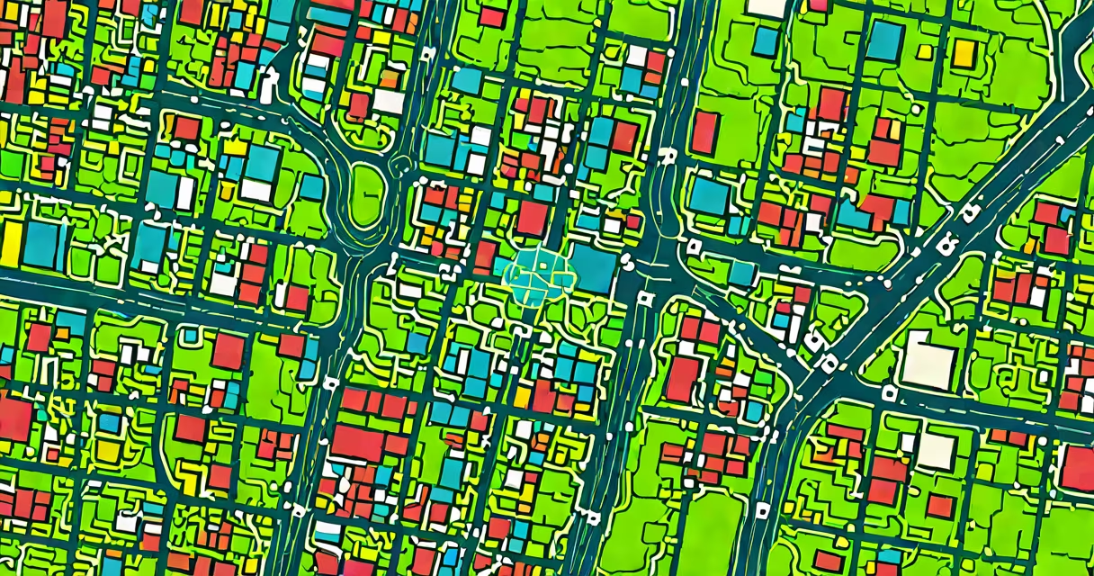
GIS and AI integrates geographic information systems with artificial intelligence to analyze spatial data, automate pattern recognition, and support predictive decision-making across environmental, urban, and infrastructure domains.
Geographic Information Systems (GIS) manage, visualize, and analyze location-based data using maps and spatial databases. Artificial Intelligence (AI) applies algorithms to identify patterns, make predictions, and automate tasks based on data inputs. When combined, GIS and AI create tools capable of processing vast datasets-such as satellite imagery, sensor feeds, and demographic records-to detect changes over time, forecast risks, and recommend actions.
This integration enables systems to go beyond static mapping. Instead of simply showing where something is, GIS and AI reveal what is likely to happen, where problems may emerge, and how interventions can be optimized. For example, AI models trained on historical flood data and terrain elevation can predict flood zones with higher accuracy than traditional methods.
GIS provides the spatial context-coordinates, boundaries, terrain features, and attribute data-while AI adds analytical power through machine learning and deep learning techniques. The synergy begins when geospatial data is structured into layers: land cover, population density, road networks, and weather patterns. These layers serve as inputs for AI models trained to recognize anomalies or trends.
For instance, a model analyzing monthly satellite images of a forest region can flag areas with sudden tree canopy loss. By cross-referencing this with historical deforestation events and proximity to roads, the system identifies high-risk zones for illegal logging. This detection happens faster and at scale than manual review.
Machine learning models such as convolutional neural networks (CNNs) process raster data like aerial photos. They learn to distinguish between healthy vegetation and stressed crops, or between urban sprawl and protected wetlands. Once trained, these models can scan thousands of images in minutes, producing actionable insights for conservation agencies or city planners.
The fusion of GIS and AI relies on several technical elements: geospatial databases, cloud platforms, AI frameworks, and visualization tools. Data pipelines move raw inputs-such as LiDAR scans or GPS-tracked vehicle movements-into formats usable by AI models.
Four primary AI approaches are used in spatial analysis:
| Type | Function | Use Case Example |
|---|---|---|
| Supervised Learning | Classifies locations based on labeled training data | Identifying crop types from multispectral satellite images |
| Unsupervised Learning | Detects hidden clusters or patterns without predefined labels | Finding informal settlements in urban areas using nighttime light data |
| Deep Learning (CNNs) | Processes visual data like satellite imagery | Automatically detecting building damage after earthquakes |
| Reinforcement Learning | Optimizes decisions through trial-and-error simulation | Routing emergency vehicles during a wildfire evacuation |
A common misconception is that AI in GIS requires complex coding or proprietary software. Many tools now offer no-code interfaces. Google Earth Engine, for example, allows users to run AI-powered scripts on global satellite data without installing software. A researcher in Nairobi used it to map informal settlements across East Africa by applying a pre-trained model to Landsat 8 imagery, reducing analysis time from weeks to hours.
Urban planners use GIS and AI to simulate traffic flow under different policy scenarios. In 2022, the city of Barcelona deployed an AI-enhanced GIS platform to adjust traffic light timing in real time. The system analyzed live camera feeds and GPS data from buses and taxis, reducing average commute times by 14% during peak hours.
Environmental scientists apply the combination to track climate change impacts. A study published in *Nature Communications* used AI-trained models on decades of Arctic ice thickness data to project sea level rise. The model predicted a 0.6-meter increase in coastal flooding risk by 2050, informing adaptation strategies in low-lying cities like Jakarta and Miami.
Disaster response teams rely on rapid GIS-AI analysis during emergencies. After Hurricane Ian in 2022, the Federal Emergency Management Agency (FEMA) used AI to process drone footage and satellite images within six hours of landfall. The system identified flooded roads and damaged buildings, prioritizing rescue efforts and allocating aid resources efficiently.
One widespread error is equating GIS and AI with automation that replaces human judgment. While AI can process data faster, it does not eliminate the need for domain expertise. A model may flag a forest area as "high risk" for fire, but a local ranger's knowledge of seasonal wind patterns and past burn history is essential to validate the alert.
Another misunderstanding is that AI models are inherently objective. Bias can enter through training data. If a model learns from historical crime reports, it may reinforce existing disparities-e.g., over-policing certain neighborhoods. Researchers at Stanford University found that AI models trained on biased data falsely increased risk scores for minority communities by up to 30% in pilot tests.
It's also incorrect to assume that all GIS-AI projects require massive computing power. Lightweight models can run on standard laptops. During a field survey in rural Nepal, a team used a Raspberry Pi with a small AI model to classify landslide risks from smartphone-captured terrain images. The device processed data locally, ensuring privacy and functioning without internet access.
In 2021, researchers at Johns Hopkins University developed a GIS-AI system to forecast dengue fever outbreaks in Southeast Asia. The model combined daily temperature, rainfall, and mosquito breeding site data from satellite and ground sensors. It used a random forest algorithm trained on 15 years of outbreak records.
When tested in Vietnam, the system predicted outbreaks with 87% accuracy two weeks in advance. Health officials used the forecasts to deploy insecticide spraying and public awareness campaigns before cases spiked. Over one year, the intervention reduced reported dengue cases by 41% in targeted provinces.
This case shows how GIS and AI deliver tangible outcomes. The system didn't just show where disease was occurring-it anticipated where it would spread, allowing proactive measures.
GIS and AI is not a single tool but a structure for smarter, faster, and more responsive spatial decision-making. Its value lies not in replacing people, but in amplifying human insight with computational power grounded in real-world data.